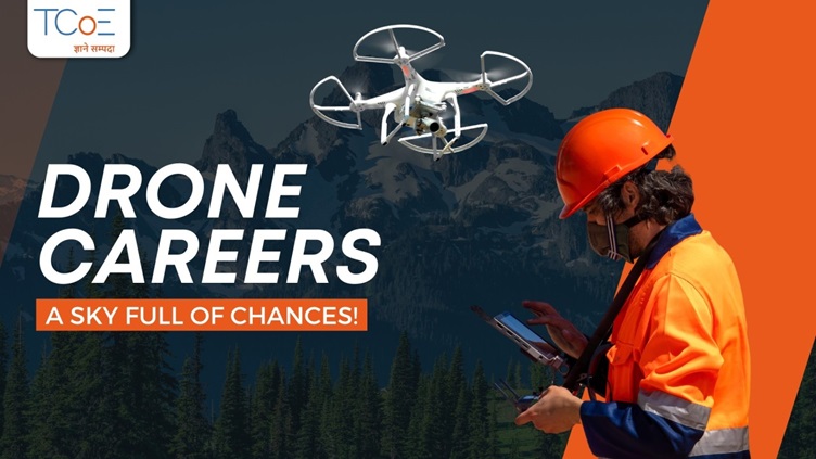
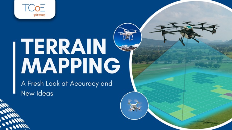
Why Drones Are Revolutionizing the Terrain Mapping Industry
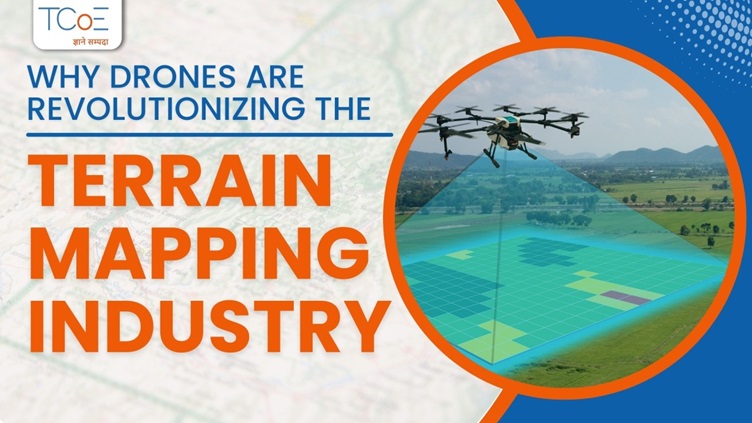
Drone technology has changed the terrain mapping industry. Drones help from surveying to mapping the landscapes, Unmanned Aerial Vehicles (UAVs) commonly referred to as drones, have become crucial tools in a number of industrial applications from urban planning and construction to agriculture, and several others. Here is how drones revolutionize the industry of terrain mapping and why they became essential:.
1. Greater Accessibility
Traditional terrain mapping sometimes requires expensive and challenging equipment, such as manned aircraft or ground-based survey teams. These methods can be limited in their ability to access remote or other hazardous locations.
Drones, on the other hand, are compact, portable, and capable of operating in diverse environments, including rugged mountains, dense forests, and disaster areas. Their ability to fly at low altitudes enables them to navigate terrains and capture detailed data, which is not accessible by the use of traditional methods.
2. High-Resolution Data Collection
One of the main advantages of using drones for terrain mapping is that they can capture high-resolution pictures and data. Advanced sensors such as cameras, LiDAR, and multispectral imaging systems help drones in generating detailed 3D models and digital elevation models (DEMs) with micro-level accuracy.
This level of precision provides benefit in applications like construction and mining, where accurate topographical data is important for planning and safety. Moreover, drones can cover large areas quickly, providing a complete view of the terrain in a single flight.
3. Cost-Effective Operations
Traditional terrain mapping requires heavy machinery, man power, and substantial costs. Air surveys are very expensive which includes fuel, pilots, and expensive equipment.
On the other hand, drones help in reducing cost. They reduce crew size and remove expensive logistics, which enables even small business and local government organizations to afford to use high-quality mapping. Moreover, drones will get the surveys completed in hours as opposed to days, thus compressing the timeline and associated costs of the project dramatically.
4. Real-Time Insights
Perhaps one of the most critical advantages of drones is the ability to offer real-time insights. With live video feeds and on-the-spot data processing, drones allow immediate analysis of terrain conditions. This feature is highly important in disaster management, as timely decisions may be a matter of life and death.
For instance, drones used in floods or landslides can immediately map affected areas to help authorities plan rescue efforts and allocate resources effectively.
5. Interoperability in Multiple Sectors
Drones are not only changing the way terrain mapping is done but also how the data is used in various sectors.
Agriculture: Drones monitor soil health and irrigation patterns, which allows for precision farming.
Urban Planning: High-resolution mapping helps in infrastructure development and zoning.
Mining: Drones assess mineral-rich areas and ensure worker safety by mapping hazardous zones.
Forestry: They help monitor deforestation and track wildlife habitats.
6. Integration with Advanced Technologies
Modern drones come with the integration of AI, IoT, and cloud-based platforms for even greater values. AI-powered drones may analyze terrain features independently; IoT connectivity allows for real-time data sharing by teams. Cloud platforms make collaborating easy and allow for long-term storage of the mapping data for later utilization.
Conclusion
Drones have changed the terrain mapping industry by making it faster, more efficient, and more accessible. Their ability to deliver high-resolution data at less costs and in challenging environments, transformed how professionals approach terrain analysis.
As drone technology is growing continuously, their role in terrain mapping will also increase which will help in driving innovation across industries and paving the way for smarter, more sustainable solutions in the years to come.
Other Blogs