Terrain Mapping: A Fresh Look at Accuracy and New Ideas
How Terrain Mapping Has Changed Over Time
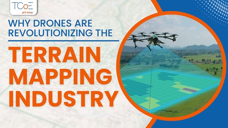
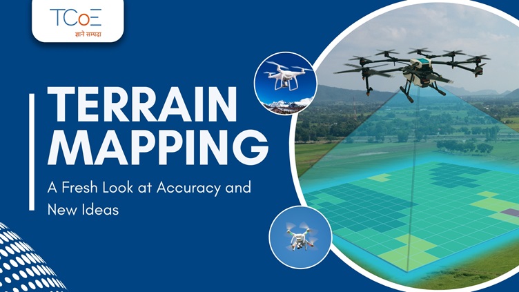
In the past, mapping terrain was a time-consuming job that relied on ground surveys and manual data gathering. Satellite images brought big improvements, but the use of drones and LiDAR caused a revolution in the field. Drones with high-quality cameras and LiDAR sensors can now capture detailed 3D models of the land with amazing accuracy. This change has sped up the mapping process and also broadened its uses.
Applications of Terrain Mapping
Urban Planning and Development:
City planners need precise terrain maps. These maps give key info to design infrastructure, check flood risks, and plan green areas. When planners mix terrain mapping with GIS, they can see how new buildings will fit with the land around them. This leads to smarter greener cities.
Environmental Conservation:
Terrain mapping helps watch over natural homes. People who protect nature use it to see changes in land shape, forests, and water. This helps them find places that might wash away, lose trees, or flood. This info is key to make good choices about how to protect nature.
Agriculture:
Terrain mapping plays a key role in precision farming. Farmers rely on detailed maps to grasp their land's layout, which helps them to optimize watering, cut down on soil loss, and boost crop output. When farmers combine terrain data with soil and weather info, they can make smart choices that increase productivity and help the environment.
Mining and Resource Management:
The mining sector uses terrain mapping to plan how to extract resources, check environmental effects, and keep workers safe. Accurate maps allow mining companies to create more efficient extraction methods, cut down on waste, and lower their impact on the environment.
Disaster Management:
Terrain mapping has a crucial impact on disaster readiness and response. When natural disasters like floods, landslides, or earthquakes happen current terrain maps prove essential to assess damage, plan evacuations, and coordinate relief efforts.
The Future of Terrain Mapping
Technology keeps moving forward, and this makes the future of terrain mapping look even better. AI and machine learning are starting to team up with terrain mapping, which lets computers analyze data and predict outcomes on their own. Also stronger sensors and drones that can fly longer are on the way, which will make terrain mapping more accurate and efficient.
At TCoE, we lead the pack in this tech shake-up. Our special training courses in drone tech, GIS, and LiDAR give students the know-how to shine in terrain mapping. We think that by pushing new ideas and giving hands-on practice, we can help create smarter long-lasting answers for our world.
Want to Boost Your Skills?
Are you keen to dive into the groundbreaking world of terrain mapping? Come join us at TCoE and start your journey to a career in one of the most exciting and influential fields of our time. Our in-depth courses combine theory and hands-on training getting you ready to tackle future challenges. Sign up now and become a pioneer in terrain mapping tech!


